World Map with an Airplane Coloring Page
Published on
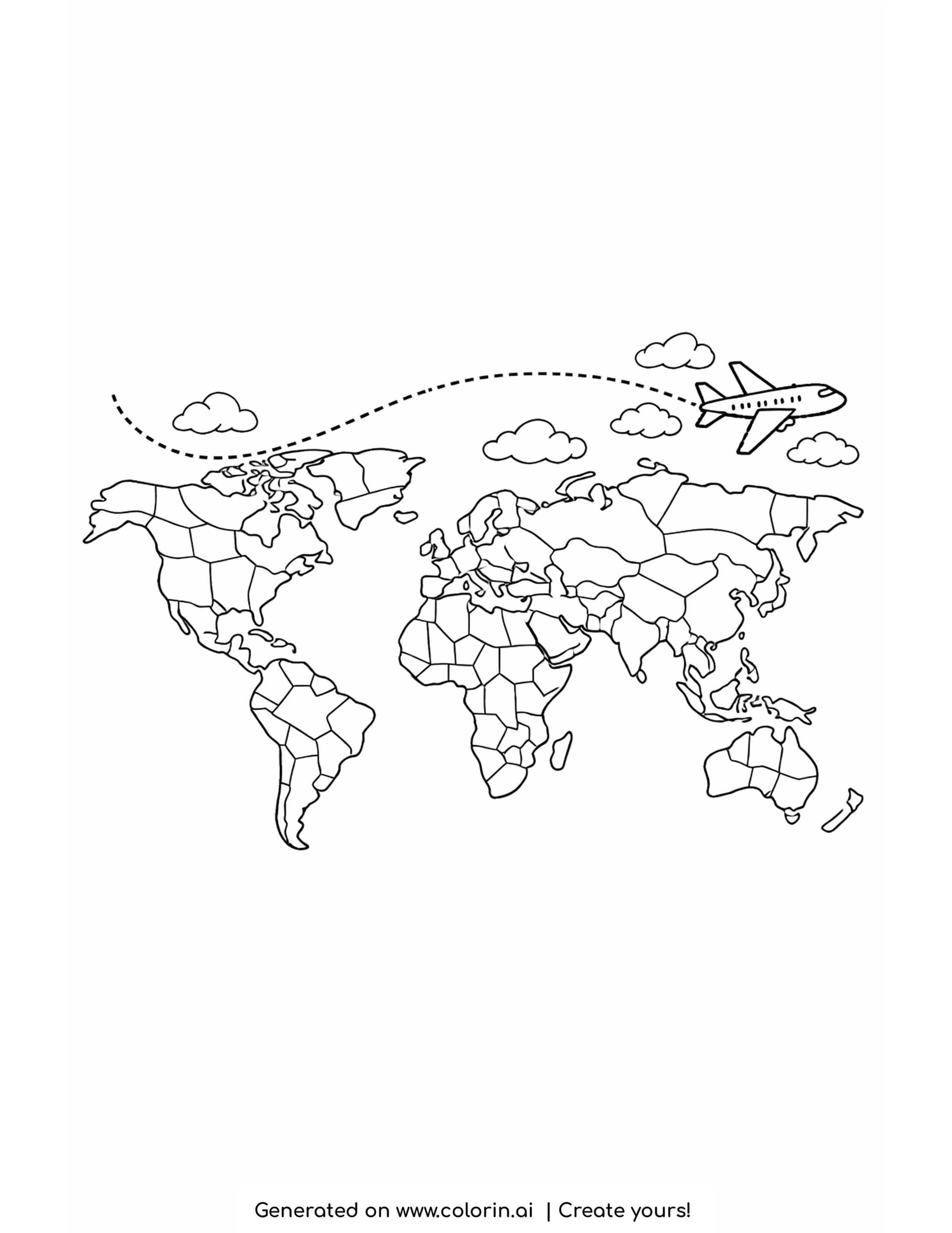
Add this World Map with an Airplane Coloring Page to your collection and you get a working map, not a decorative one. The continents are drawn with their country borders in place, so the sheet can be colored as six big shapes or as dozens of small ones depending on who is holding the pencil. A dotted flight path curves across the top and a small jet sits at the front of it. A free printable map coloring page for ages 7 and up.
How this coloring page was created
For this page, we entered the concept: "a world map with detailed continents and a dotted flight path curving up the page, with a small airplane at the front of the line" on Colorin AI and generated a print ready coloring page in seconds.
The word that mattered was "detailed". A world map asked for plainly comes back as six blank silhouettes, which is a five minute page. Asking for detail brought the internal borders with it, and those borders are what turn one sheet into either a quick job or an afternoon, without changing the drawing at all.
About this map coloring page
What makes this map usable is that the borders are drawn but nothing is labeled. There are no country names, no capitals and no key, so the sheet stays a coloring page rather than becoming a test.
That is the version a teacher or a parent can actually use twice. The same print works as a color by continent exercise for a young child and as a name the countries exercise for an older one, with the labeling done by hand in whatever detail suits.
Counted out: six continental landmasses are drawn plus Greenland, the British Isles, Japan, the Indonesian island chain and New Zealand as separate pieces. North America is divided into about nine internal regions, South America into about twelve, Africa into roughly twenty five, and Europe into a dense cluster of small cells along its western edge. Asia runs the full width of the right half in about fifteen divisions, and Australia is split into six. Above the map, a dotted line curves down from the upper left, dips across the Atlantic and rises to the right, ending at a small passenger jet drawn in plain outline with a row of tiny windows. Five clouds sit along that path. The lower third of the sheet is blank.
Coloring Ideas and Techniques
The classic trick with a bordered map is the four color rule: no two touching countries share a color, and four colors are always enough to do it. Africa is the best place to try it, and working it out is half the activity.
Leave the oceans white or give them the palest wash you have. Anything strong there swallows the coastlines, and the coastlines are the only thing telling you which continent is which.
The dotted flight path is worth treating as a route rather than a line. Color it one segment at a time in different tones and the page turns into a record of a trip, real or imagined, which is more interesting than a single dashed stripe.
Frequently Asked Questions
Is this map coloring page free to download?
Yes, the PDF downloads free for home and school use.
What age is this map coloring page best for?
Ages 7 and up. Younger children can color whole continents in one tone, while older ones can work country by country.
Can I use this map coloring page for commercial use?
This page is free for personal and classroom use. To sell coloring pages, create your own with Colorin AI: every plan includes a commercial license for the pages you generate.